
High tech helpers for water and soil conservation in Tibet
In 2016, Tibet used drones for low altitude and remote monitoring of water and soil loss at 34 test sites for 11 mid- to large-scale programs. A total of 52 flights had collected and processed almost 200 gigabytes of original data (including basic images and 3-D models), extracted 10-plus monitoring and testing indicators for water and soil loss, further improving the preventive and monitoring work in this area.
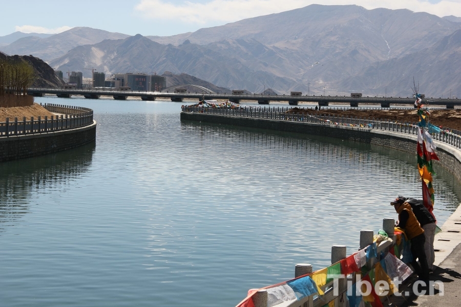
The average altitude in Tibet is above four thousand meters, with most areas inside alpine grassland ecosystem, thin soil layers, and poor anti-erosion ability. As the economic society rapidly developed, the influence of man-made factors on the environment is becoming more apparent than ever.
Yi Yunfei, Chief of the Soil and Water Conservation Bureau in Tibet Autonomous Region, explained that in recent years, Tibet has begun a “Two-in-One Sky and Ground” construction program, introducing new high tech tools such as remote satellite sensing, drones, 3-D laser scanners, etc., helping to monitor and maintain soil and water quality.
Tibet’s expansive area means its production and construction programs are located across many zones, with long timelines. Improving the efficiency of monitoring and working with information technology is key.
Your Comment
Name E-mailRelated News
-
;
-
-
Three high-tech 'superpowers' of Shenzhou-11 manned spacecraft
Shenzhou-11mannedspacecraft.[Photo:news.cn]Shenzhou-11mannedspacecraftisnowfloatingaroundspaceamongthestarsandplanetswithtwoChineseastronauts.
-
-
-
Spotlight: Chinese technology helping LatAm boost connectivity
Astafferchecksafiber-opticcableatLatamfiberhomePlantinDuran,Guayasprovince,Ecuador,onAug.26,2016.(Xinhua/SantiagoArmas)byXinhuawriterMaoPengfeiMEXICOCITY,Sept.
-
-
-

-
Tibet goes hi-tech to promote tourism, culture
An experience pavilion using latest internet technologies was launched in Lhasa on Thursday to boost Tibet's tourism and culture industry.
-


Based in Lhasa, Tibet Vista is a Tibet travel agency that specialized in Tibet permit, and Tibet tours for both private and group travelers at a local price!
•4 Days Lhasa City Group Tour from USD 460 •8 Days Everest Base Camp Group Tour from USD 850 •15 Days Mt.Kailash Group Tour from USD 1780 •2016 Tibet Train Tours from Beijing, Shanghai, Chengdu, Xining,etc


