Aerial view of northwest China's Qinghai in winter
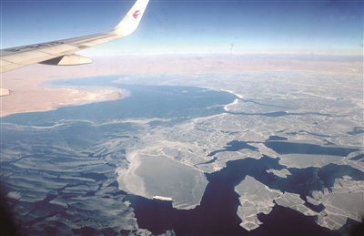
Photo shows the aerial scenery of northwest China's Qinghai Province from the 30,000 feet (9,143 meters) high in the air.
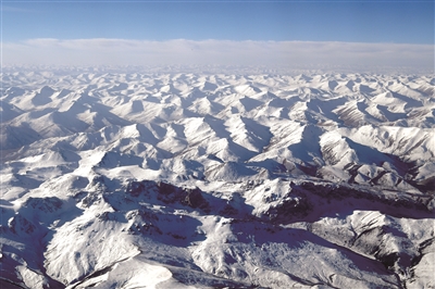
Photo shows the aerial scenery of northwest China's Qinghai Province from the 30,000 feet (9,143 meters) high in the air.
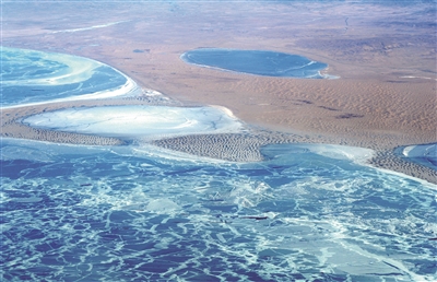
Photo shows the aerial scenery of northwest China's Qinghai Province from the 30,000 feet (9,143 meters) high in the air.
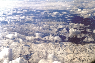
Photo shows the aerial scenery of northwest China's Qinghai Province from the 30,000 feet (9,143 meters) high in the air.
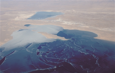
Photo shows the aerial scenery of northwest China's Qinghai Province from the 30,000 feet (9,143 meters) high in the air.
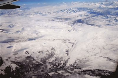
Photo shows the aerial scenery of northwest China's Qinghai Province from the 30,000 feet (9,143 meters) high in the air.
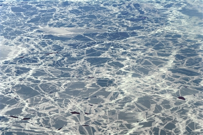
Photo shows the aerial scenery of northwest China's Qinghai Province from the 30,000 feet (9,143 meters) high in the air.
Your Comment
Name E-mailRelated News
More >>-
;
-
-
-
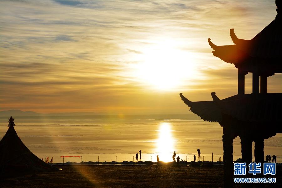
Scenery of sunrise and sunset by Qinghai Lake
The Heimahe Township located in the west bank of the Qinghai Lake is the best site around the lake to view sunrise and sunset.
-
-
-
-
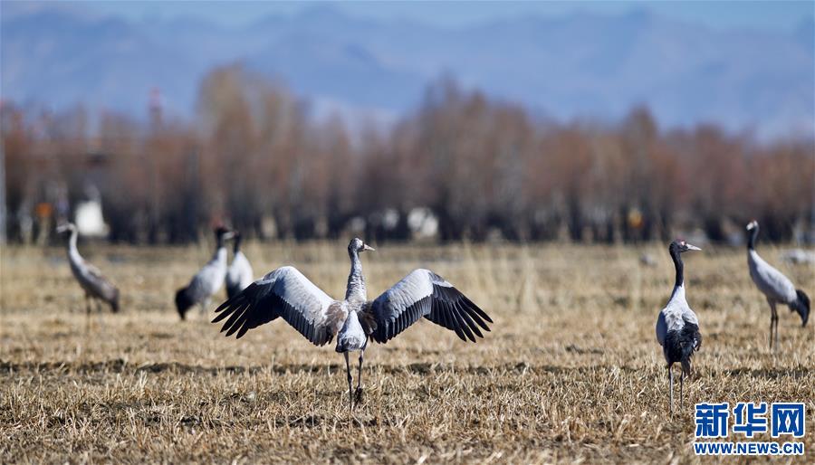
Black-necked cranes seen near Nyangqu River in SW
Tibet has become the world's largest winter habitat for critically endangered black-necked cranes.
-

