
Aerial view of Yarlung Tsangpo River in Tibet
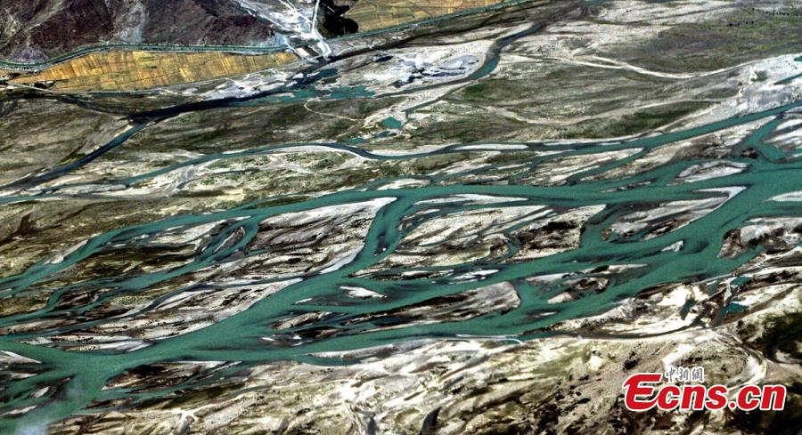
Photo shows an aerial view of mountains and Yarlung Zangbo River in southwest China's Tibet Autonomous Region. [Photo/China News Service]
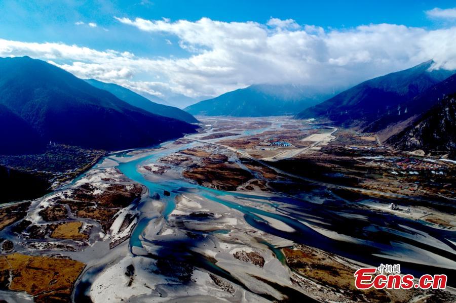
Photo shows an aerial view of mountains and Yarlung Zangbo River in southwest China's Tibet Autonomous Region. [Photo/China News Service]
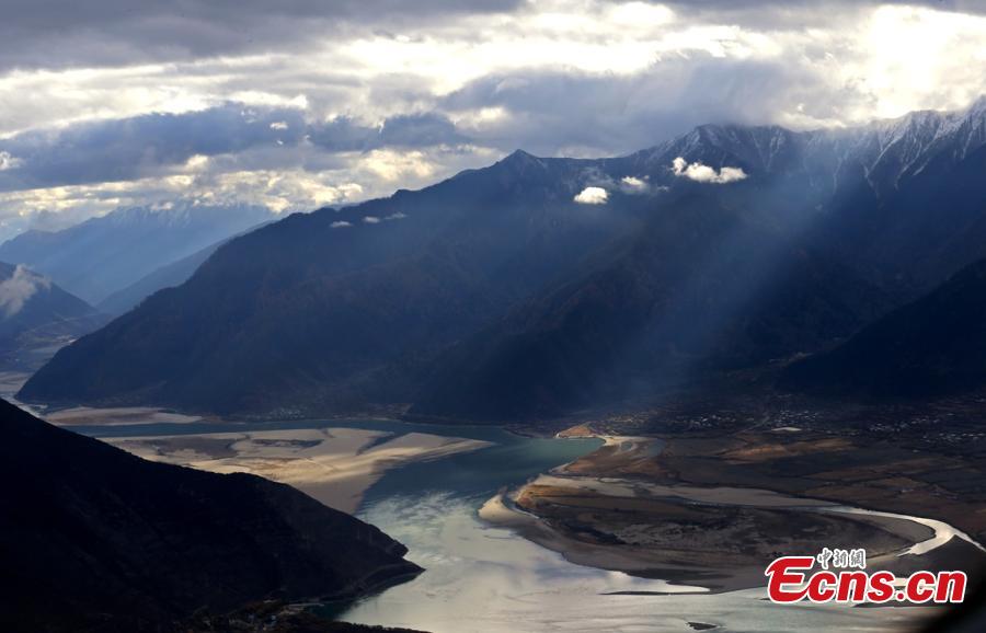
Photo shows an aerial view of mountains and Yarlung Zangbo River in southwest China's Tibet Autonomous Region. [Photo/China News Service]
Your Comment
Name E-mailRelated News
More >>-
;
-
-

-
2017 China Tibet Yarlung Culture Festival opens
The recording of the "2017 China Tibet Yarlung Culture Festival" opening ceremony was completed in Hunan on the evening of August 13.
-
-
-

-
Devoted tree planter beside Yarlung Tsangpo River
Bian Jiu's afforestation work is an epitome of afforestation along the Yarlung Tsangpo River. The whole Yarlung Tsangpo River has already established a green corridor that is 160 km long and has an average width of 1,800 meters.
-
-
-

-
Scenery of Yarlung Tsangpo River
Photo shows the scenery of the Yarlung Tsangpo River, which has its source in southwest China's Tibet and is the highest river in the world with an average altitude above 3,000 meters.
-